


|
You are at Home » Panyancangan
|
|


Gede 2.0MOUNT GEDEBy Handjono
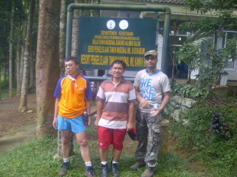
While Jakarta – Ciawi was fine, just after Gadog the traffic was congested for about 1 hour. The sky was cloudy and the climb was very slow until after Cisarua. The normally-jammed Taman Safari junction was not busy at all, so it must be the in/out of some places along the road. Lunch at Cibodas was 12:30, then by 13:00 we arrived at Cibodas. The registration was long, more than ½ hours. All team members must leave an ID card copy in the office. By 13:45 we started the climb. The weather was fine. The sun shone a little with some clouds between it and us. It was damp but luckily it did not rain. The stones were wet, so the trek was somewhat slippery. After 40’ of walking, at Telagabiru (Blue Lake) we took a short break then continued up until the Panyancangan (Stable) junction where the trek branches. Straight to Cibeuruem (Red Water) waterfall and left to Mount Gede. It was 14:45 and we took a 5’ break.
A minute later the trek branches again right after the concrete shelter. We turned left and the trek became steeper than before right after the junction. It was getting darker, and the cold eventually came. By 17:30 it was quite dark and the sound of thunder scared us. The rain could drop at any time. Precipitation made our bodies cold but we were reluctant to get our jackets because we expect very soon we arrived at Kandangbadak. Then by 17:45 we arrive at Kandangbadak. The camp site was quiet because no one was there except us. We camped in the shelter. The floor was a little wet due to the rains days before and the holes at the roof. The dinner was steamy rice and tuna fish. A raccoon accompanied our dinner by strolling around us in the hope for a thrown-out meat. The night was moderately cold with half moonlight shining brightly as well as the stars. The raccoon kept working on the can and the utensils all night long while we lied back. The little stream by the shelter sounded nicely, a pure nature solo music play ………. Saturday (Nov 28, 2009)
The crossing was almost 45’ in itself. After short break at the eastern edge, we continued the descent to Gunung Putri (Princess Mount) through a boring trek. The trees were small and less dramatic than them along the Cibodas trail for they looked young and sparse. The descending trek very soon became very steep with many tree roots and stones here and there. A little bit exhausting but not too cruel like on some other mountains because the soil was not slippery. It must be of sand and lime, not shale. So our descent was quick enough, thanks to the dry weather. The trail is named Buntut-Lutung (Black Monkey Tail).
Then slowly the rain stopped by 13:00 and we continued our descending hike to Gunung Putri. The trek afterwards became less arduous for because the slope was mild. Less than 1 hour later we came across a long descending stepping stones. Again, the stones were good enough to step on and to descend. A little less than half an hour and we spotted the farmland of vegetables. Turn left, cross the small stream and then turn right. There the village was with the red tall wall house. We stopped at the basecamp to report ourselves but no one was there so we looked around for the officers on duty. Wet but warm, we had our late lunch at a small warm restaurant a little down the path. All the meals were superb, the hot coffee was the most satisfying of them. —oo0oo— More Stories on Climbed Volcanoes |
 Friday (Nov 27, 2009)
 From Panyancangan the trek became steeper than before but in general ok. The wet trek slowed us a little bit. The vegetation was as thick as before. After a long break of 30’ at a curving but leveled trek, we continued to Air Panas waterfall and reached it at almost 17:00. The mildly sulphuric hot waterfall is magnificent because it literally is right at the trek. There are stones put in the stream to allow trekkers crossing the stream. If you wear glasses you need to take it off or you’d be temporarily blind for the steam would cover the glasses. The falling water is potable but not too much. I washed my face, arms and neck. It was so refreshing.
 The trek gradually became open. The large tall trees are replaced with tall bushes. Then there was the Tangga Rante (Chain Stair) ascent, 15m high and almost vertical. There are 2 rope strings to help us climbing the ascent. Afterwards the rocky meandering ascent was still marked with posts. The ascent was not very steep, very much enjoyable indeed.
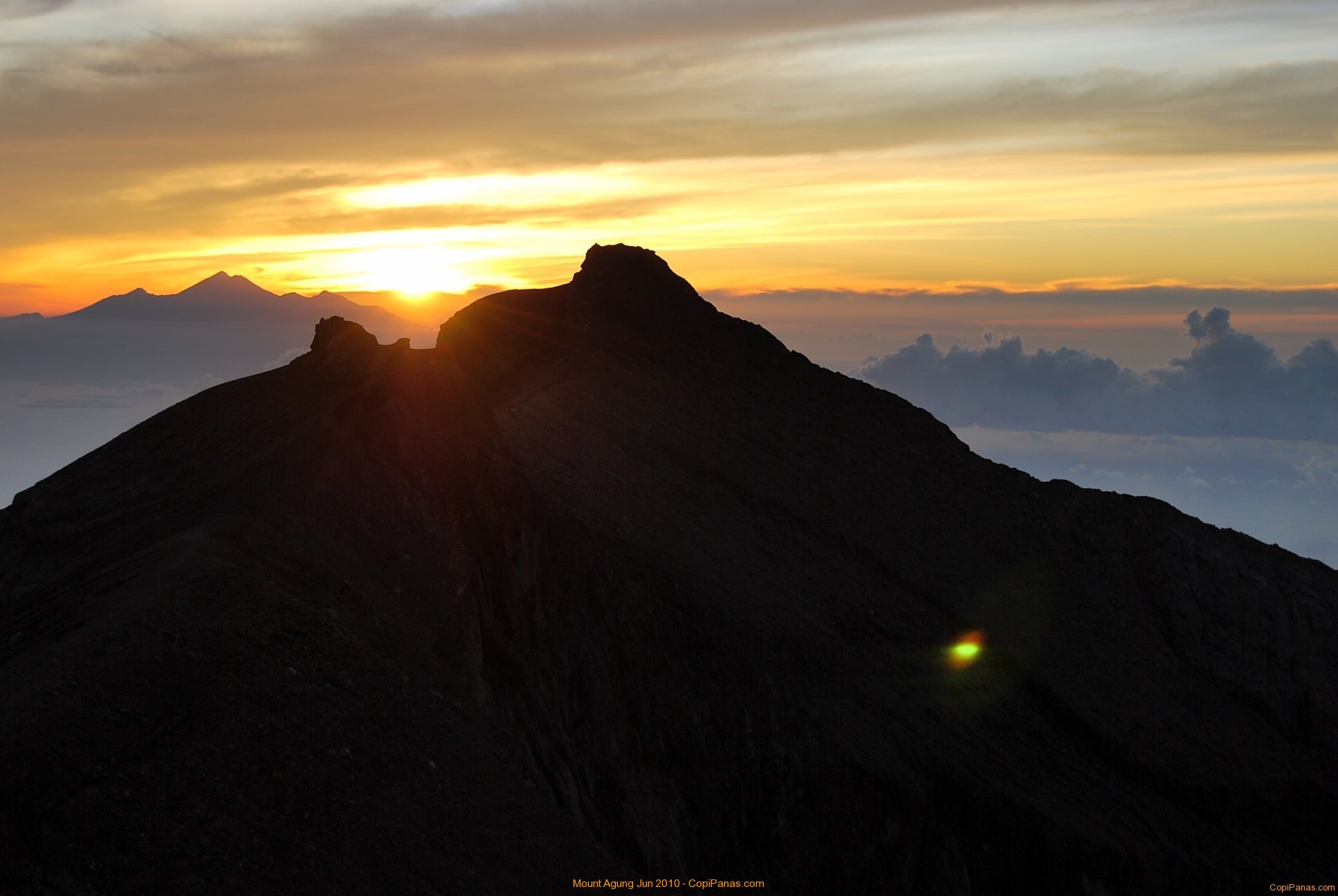
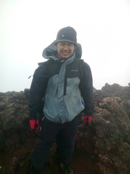
 By 6:45 we arrived at the peak and soon made ourselves busy with pictures taking. The infamous vertical crater cliff of G Gede was really magnificent. It was so tall from the crater’s bottom, standing on the crater rim was a little scary. Some spots in the crater were spewing steam. To the west is the Mount Gede dormant taller sibling, Mount
  We relaxed until 8:00 when the mist came so fast. Then we ascended to the true peak for 10’ and turned right towards Alun2 Suryakencana (Suryakencana Square). The trek down was quite steep but not slippery. By 9:00 we reached the edge of Suryakencana, the famous high altitude meadow with edelweiss everywhere.
 We took the spring water and walked across the meadow to the left or north-east direction. To the right or west direction, the trek will lead us to Selabintana trek or the south-west gate of the G Gede National Park. South-east of the meadow was the thickly forested G Gumuruh. It is 1 hour climb to the G Gumuruh peak and then a direct descent to the tea plantation but the descent is said extremely steep.
 We came across some climbers going up, then after some 1½ hours we had to wear our raincoats for the rain dropped. We stopped at a shelter at 12:00 to take rest amidst the rain and cooked our lunch. The rain was so ferocious we were all wet despite the shelter’s good roof.